
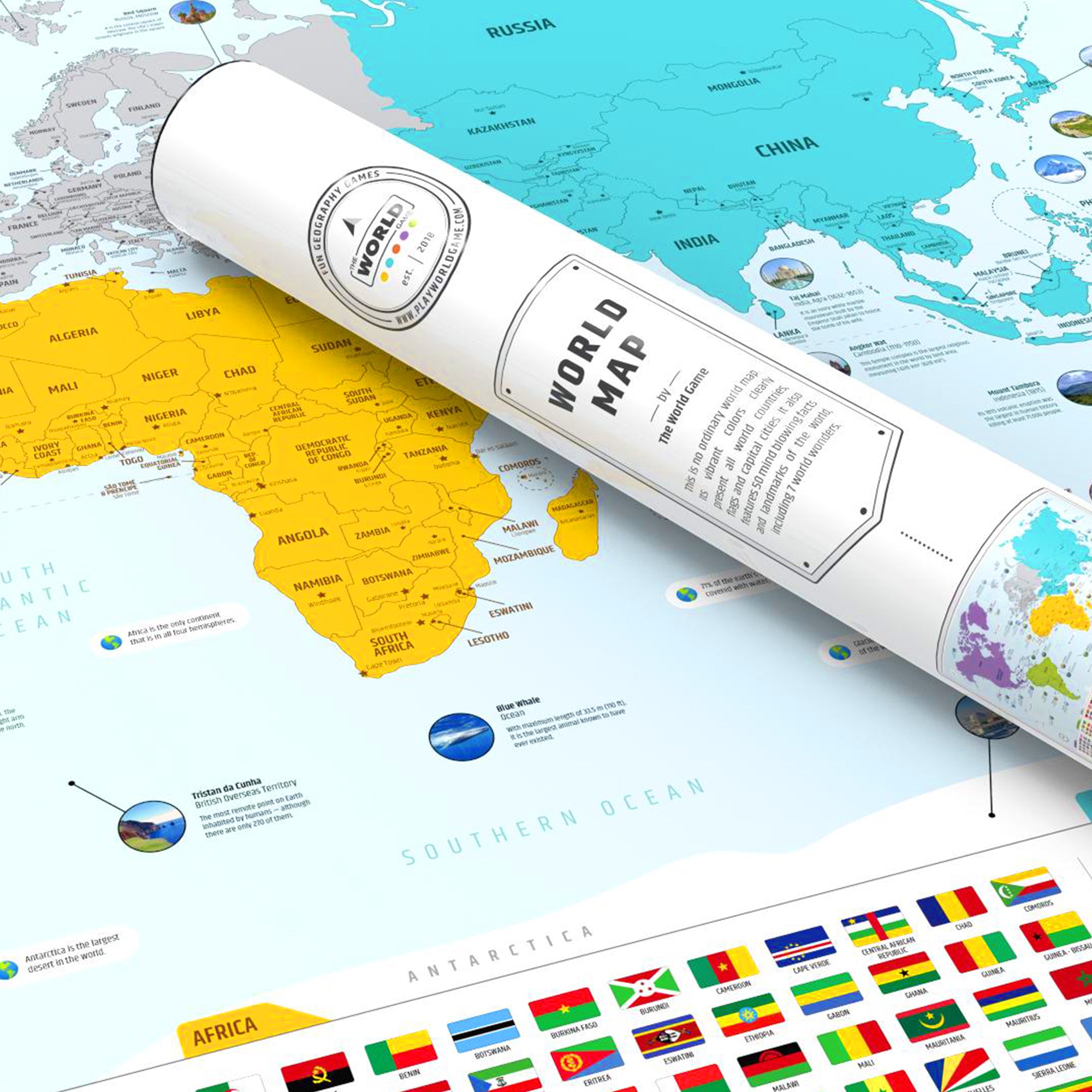


A map like no other
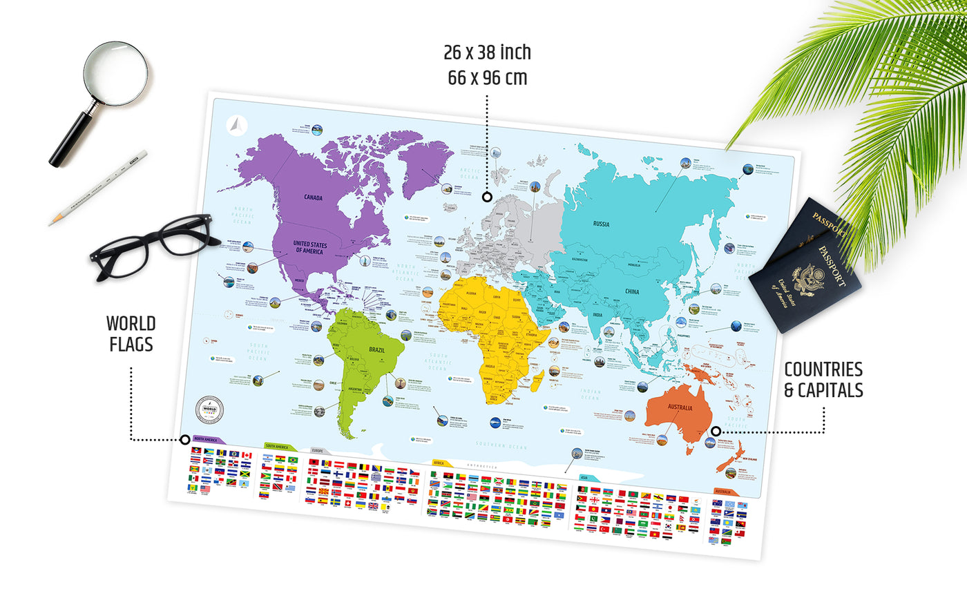
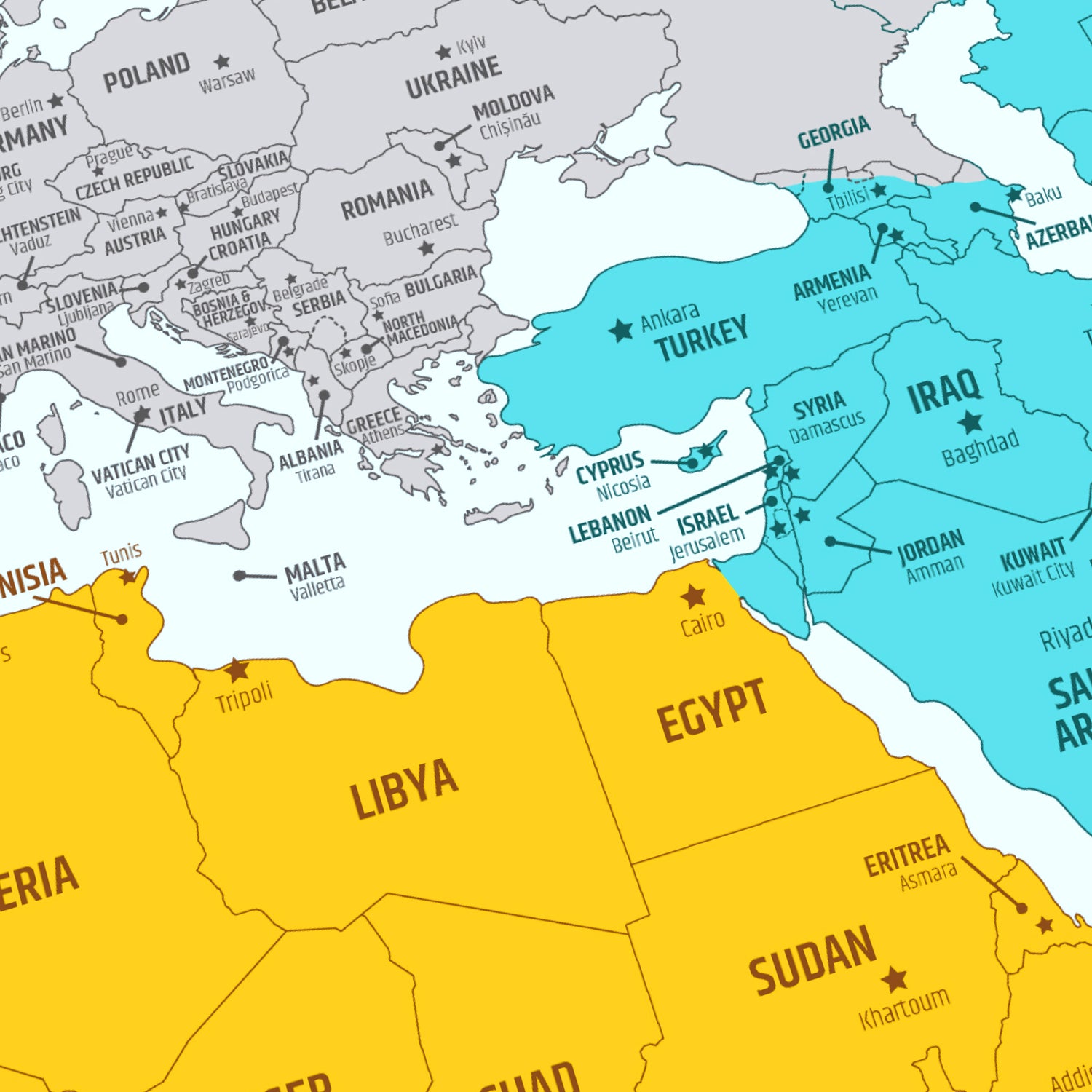
A big world map of that is easy to frame. Can be a beautiful addition to every kids room. Your kids will learn geography without even knowing. A great tool for learning capital cities, flags and geo location of the world countries.
For geography enthusiasts
If you are like learning about the world, or are an avid traveler, you'll be intrigued by the information presented on this map. It's a great gift for anyone who is an explorer by heart.
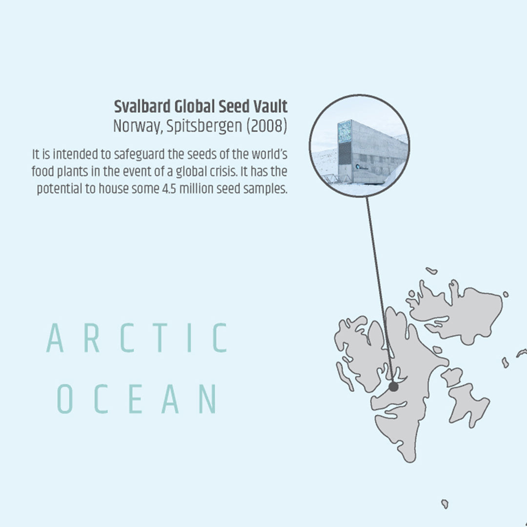
"Did you know?" facts
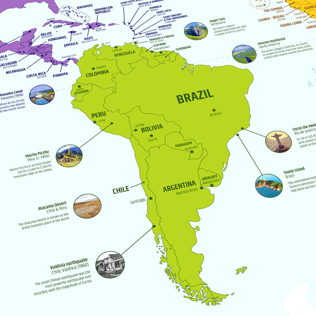
The map contains 50 very interesting facts about world landmarks as well as geo-events. All this information is dated and accompanied by an image for easier understanding and visualisation.

Looks great on any wall
This world map is a great addition to your kid's room or even your own living room. It's great for ideas for your next travel destination as well.
Amazon reviews
Here's what customers on Amazon are saying about The World Map.

Buy this item on AMAZON
Go to our "Visit our Amazon stores" page, choose the Amazon market you wish to order from and visit our Amazon store.
Visit our Amazon stores page